My birthday was rapidly approaching and after spending most of my time in bustling European centers, bouncing between one major hub to the next, I was ready for something different: no museums, no monuments, no underground trains, and ideally no people. Or as few as possible.
Still, Northern Ireland had always intrigued me. As a longtime U2 fan, I knew enough about the history behind Sunday Bloody Sunday to be curious about the place, while stories of the mysterious Giant’s Causeway—and the legend of a giant-built bridge to Scotland—had been lodged in my imagination for years.
So after a 4 a.m. wake-up, we boarded a ridiculously cheap Go flight to Belfast—£15 even booked at the last minute—picked up a rental car and headed immediately for the countryside.
In Search of Nothing
Rather than take the highway, we pointed the car north and started following back roads, which turned out to be exactly what I needed. Northern Ireland is almost unnaturally green, a shade somewhere near freshly picked baby snow peas that my camera never quite managed to reproduce.
I had apparently been living in cities too long because while driving I looked across one hillside and wondered why it was covered with funny white rocks.
They were sheep.
In my defense, at 70 miles per hour they looked surprisingly geological.
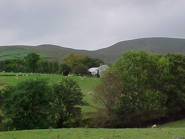 Sheep, hills and considerably more open space than I’d seen in months
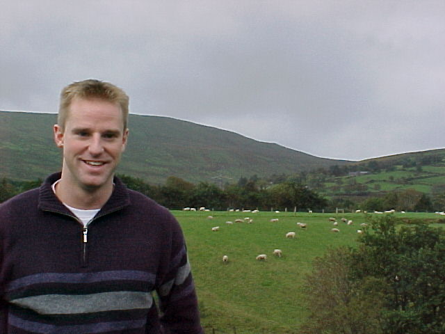 The countryside was a shade of green my camera couldn’t quite capture
A City Behind Walls
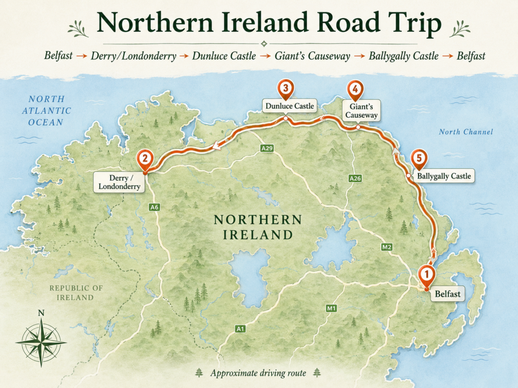
Eventually the countryside delivered us to Derry, or Londonderry, depending upon whom you ask, which marked the beginning of our drive along the northern coast. Derry marked the western end of the 120-mile scenic Causeway Coastal Route and, for us, the beginning of the real coastal drive east.
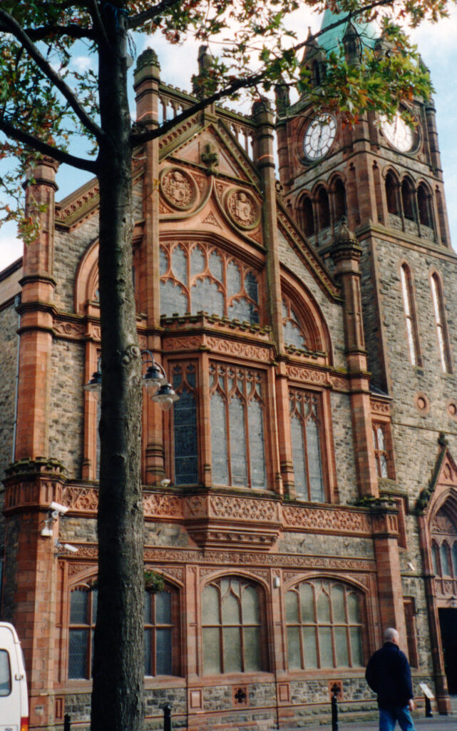
Derry began as a sixth-century monastic settlement founded by St. Columba, growing into an important religious center along the River Foyle for nearly a thousand years. The city took on its familiar fortified form much later, when walls were built between 1613 and 1618 to protect newly arrived English and Scottish settlers; remarkably, they remain the only completely intact city walls in Ireland, enclosing a street plan still recognizable four centuries later.
Long before visiting Northern Ireland, I had become fascinated by the place after learning what U2’s Sunday Bloody Sunday was actually about. On January 30, 1972, British soldiers opened fire during a civil-rights march in Derry, killing fourteen people, the event became one of the defining moments from a period known as The Troubles.
From an outsider’s perspective, I had found it difficult to comprehend how communities that shared so much history, not to mention two branches of the same Christian religion, could become so violently divided, although being here made it obvious that religion was really shorthand for something much more complicated involving identity, civil rights, nationality and competing ideas about what country this land belonged to.
But that was enough politics for one weekend.
We left the city, found a little restaurant with no apparent interest in attracting tourists, had a traditional lunch and returned to the far more pressing business of exploring the coast.
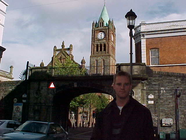 Derry: centuries of history are compressed inside a compact city
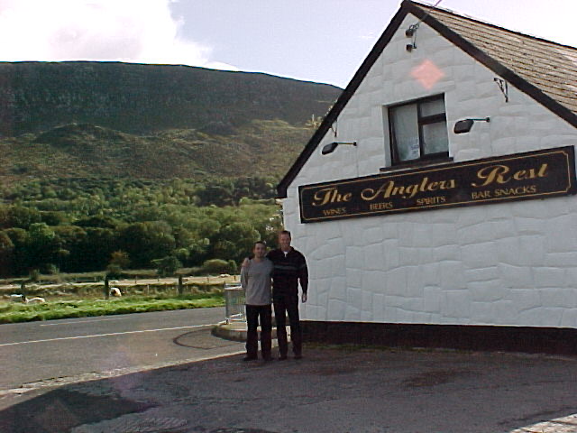 Non tourist lunch in the countryside
Following the Coast
The northern coastline was astonishing. Green headlands dropping into huge beaches, cliffs disappearing into the sea and, somehow, warm sunshine in Northern Ireland in October. Parts reminded me of Northern California, except someone had turned the saturation setting on the landscape considerably higher.
Then came Dunluce Castle.
Perched on cliffs above the Atlantic, Dunluce was first built by the MacQuillan family around 1500 and seized by the MacDonnells in the 1550s; by the 17th century an entire settlement had grown alongside it before eventually disappearing. There is even a legend that part of the castle kitchen collapsed into the sea during a storm in 1639, which sounds completely plausible when you’re standing there looking over the edge.
It was my first encounter with a European castle in ruins, and I couldn’t stop wondering how people five centuries earlier had managed to build something so substantial on land where I was slightly nervous simply standing.
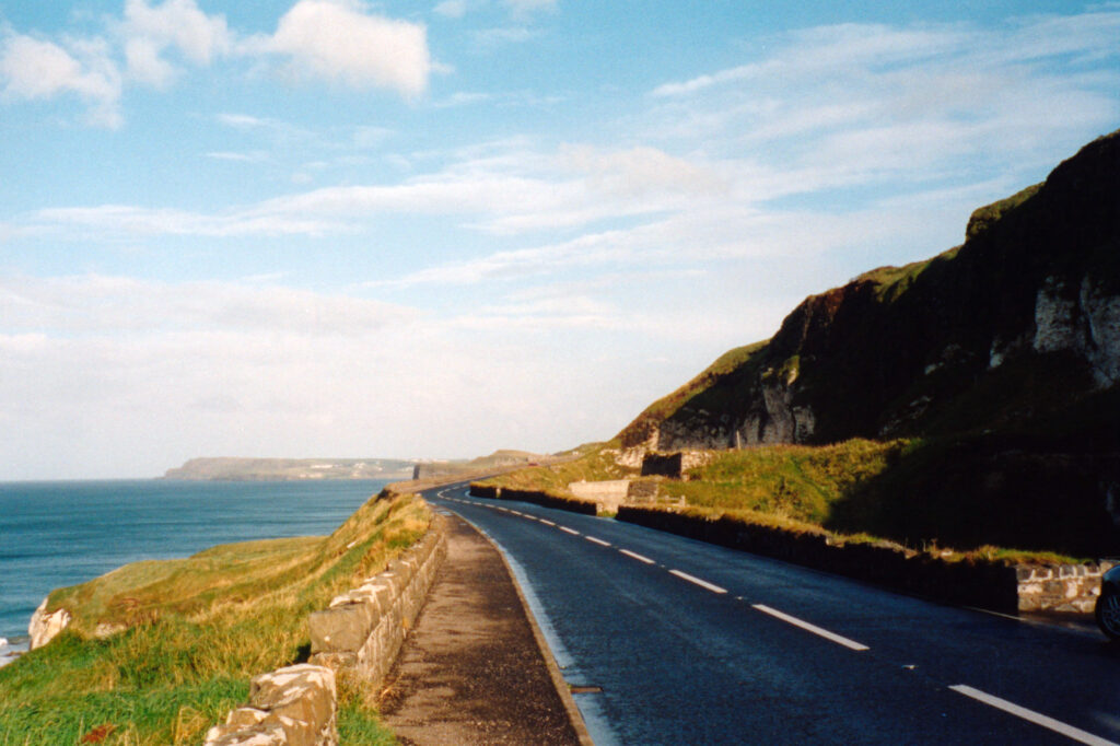 Giant’s Causeway Coastal Drive
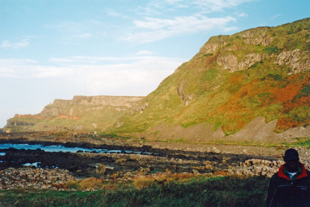 Giant’s Causeway Coastal Drive
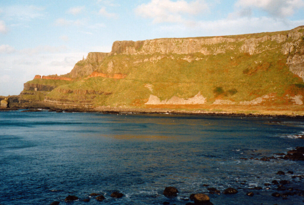 Giant’s Causeway Coastal Drive
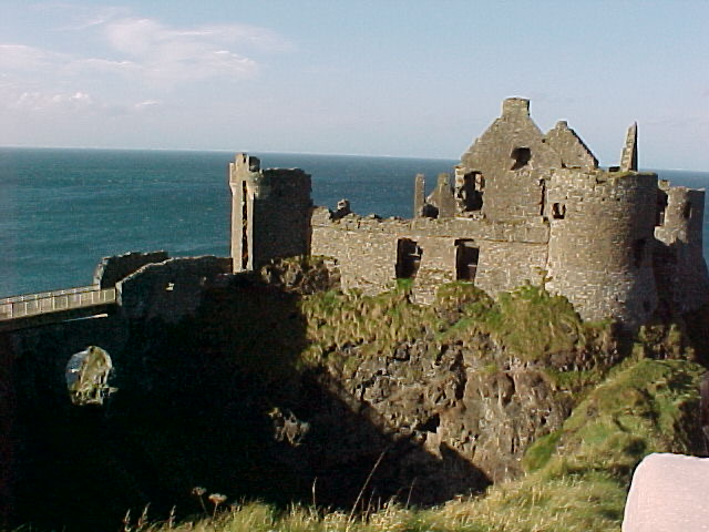 Dunluce Castle
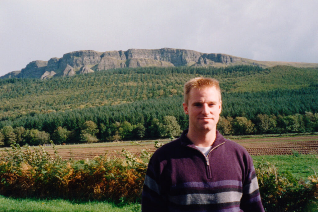 Irish countryside
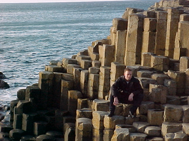 The famous Giant’s Bridge
A Road Built by a Giant
Our final major stop that Saturday was the Giant’s Causeway, one of those places whose name makes considerably more sense once you’re standing on it.
Around 40,000 remarkably regular basalt columns emerge from the coast, created when volcanic lava cooled and fractured roughly 50 to 60 million years ago; UNESCO designated the coastline a World Heritage Site in 1986. And yet in 2001 there we were essentially wandering around it on our own, climbing across one of the geological wonders of the world without anyone particularly interested in telling us where to stand or what not to touch.
Science has a perfectly reasonable explanation for the stones.
Irish folklore has a considerably better one.
According to legend, the Irish giant Finn McCool — not to be confused with his distant relative Dreamy McSteamy — built the causeway across the sea so he could confront the Scottish giant Benandonner. When Benandonner eventually came looking for him, Finn’s wife disguised Finn as an enormous baby, convincing the Scottish giant that the baby’s father must be truly gigantic.
Benandonner fled back toward Scotland and ripped up the causeway behind him so Finn couldn’t follow, leaving remnants on the Irish coast and around Fingal’s Cave on the Scottish island of Staffa.
The legend becomes even better when you learn that similarly shaped basalt columns really do rise from the Scottish coast, at Fingal’s Cave on the Isle of Staffa. Geologists attribute both formations to the same period of volcanic activity some 60 million years ago; Irish mythology had a simpler explanation—the remains of a bridge between Ireland and Scotland, built and then destroyed by giants.
A terrified giant destroying an international bridge is the story I’ll remember.
An Extremely Inconvenient Painting
Somewhere between the castle and the Causeway, I also walked into a small seaside gallery and bought an abstract oil painting of a violinist from a local artist. The painting reminded me of Picasso, a headless musician broken into different planes so the body resembles the shape of the violin it’s playing. I liked it enough that the fact we had flown to Ireland on a discount airline never entered into my purchasing decision. Worse, I bought it fully framed, which included a rather thin pane of glass.
This would become a tomorrow Todd’s problem.
Toward sunset we stopped in a tiny coastal village and watched the sun disappear over the sea after something like eight hours of driving. Then we checked into Ballygally Castle for an enormous dinner and, more importantly, sleep.
Or so I thought.
A Quiet Weekend Gets Ghosted
We choose Ballygally Castle because of its historic significance, it was built in 1625, and its position directly on the Antrim coast overlooking the sea. Also, stays include the possibility to interact with ghost legend Lady Isabella Shaw.
When we arrived, there was a wedding underway. The first clue that this might not be an especially restrained affair was the bride standing at the bar with a cigar hanging from one side of her mouth while drinking Guinness from the other. Then somehow we went from watching the wedding to being invited to join the wedding dinner.
At that point I had been awake since 4 a.m., had driven around Northern Ireland all day and desperately needed sleep. But there are moments when exhaustion loses the argument.
You only live once and you can sleep when you’re dead.
So we joined the wedding.
Dinner became drinks, drinks became dancing, and whatever peaceful country weekend I had envisioned disappeared beneath several pints of Guinness and an increasingly enthusiastic bridal party. By well after 3 a.m., doors were being pounded, the groom was having a rather intimate disagreement with the amount he had consumed, and Ballygally’s famous ghost would have needed considerably more determination than usual to make herself heard.
It was ridiculous. Also far more memorable than going to bed.
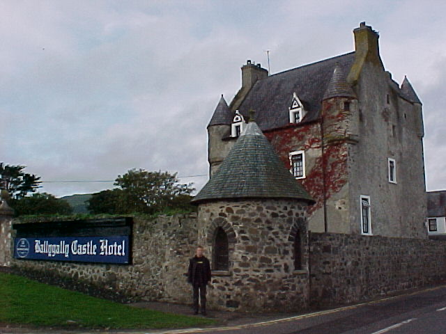 Ballygally Castle: four centuries old,on the beach and peaceful?
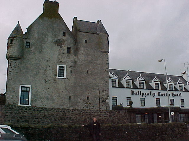 Our home for the night—and a wedding we had not planned on attending
The Morning After
After what remained of the night’s sleep, we spent the morning on the beach across from Ballygally Castle watching the North Channel roll onto the shore before heading south toward Belfast.
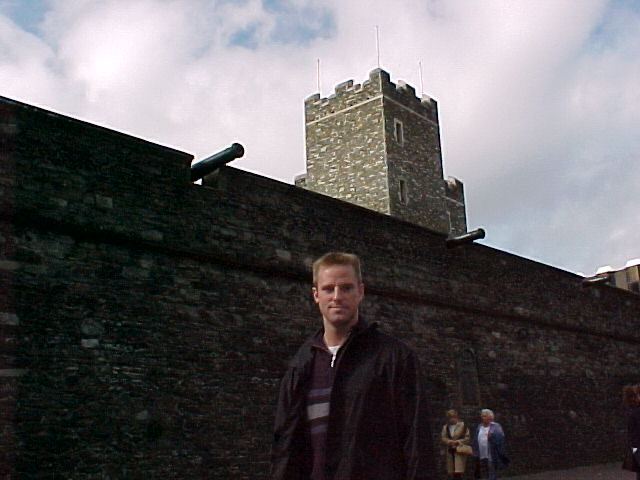
The short drive brought us through Carrickfergus, whose enormous Norman castle has guarded Belfast Lough for more than 800 years—and whose location suddenly makes sense when you realize the sea wasn’t scenery. It was part of the fortification.
John de Courcy began building here soon after conquering eastern Ulster in 1177, choosing a rocky peninsula with water on three sides, a natural harbor beside it and, remarkably, its own source of fresh water. A ditch cut through the rock protected the landward approach, meaning that with the drawbridge raised the castle could effectively be surrounded by water.
Carrickfergus became a powerbase in Ulster, and the town and port grew in its shadow. He wasn’t a wealthy aristocrat building himself a seaside retreat so much as an Anglo-Norman conqueror turning newly seized territory into a lordship; land, rents, trade and political control produced the wealth, and he eventually became powerful enough to mint his own coins here.
For centuries Carrickfergus was actually more important than nearby Belfast.
Eight centuries later, it’s still sitting on the same rock watching over Belfast Lough.
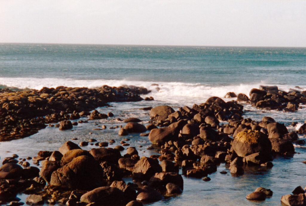 Peaceful morning at the beach
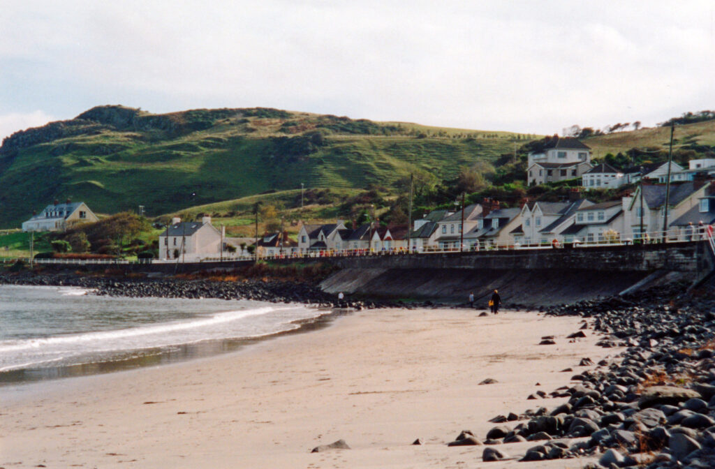 Peaceful morning at the beach
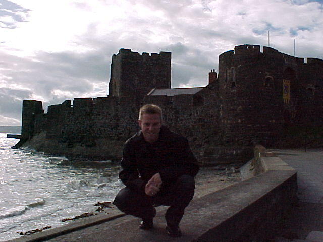 Carrickfergus Castle, guarding Belfast Lough since the 12th century.
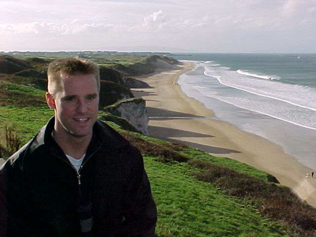 The peace and quiet I had ordered finally arrived the following morning
Back to Belfast
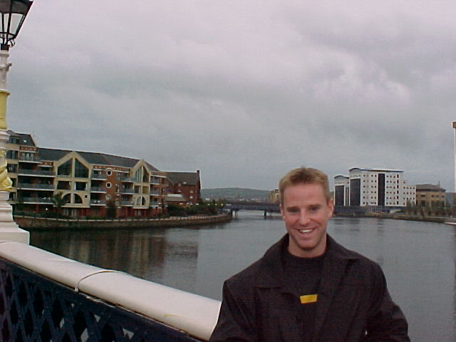
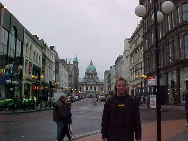
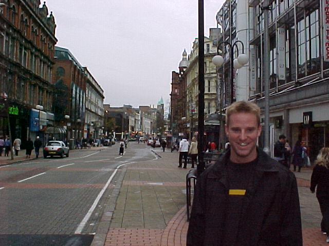
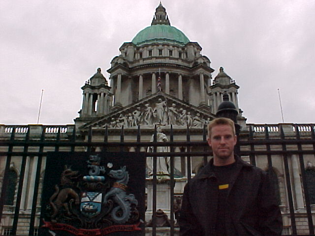
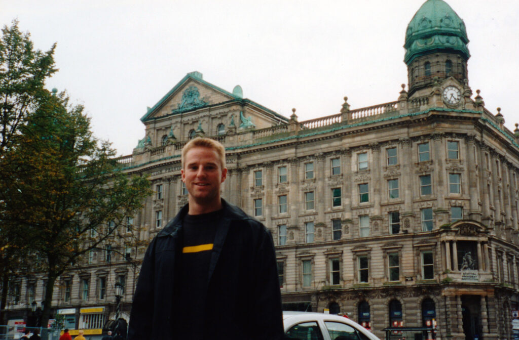
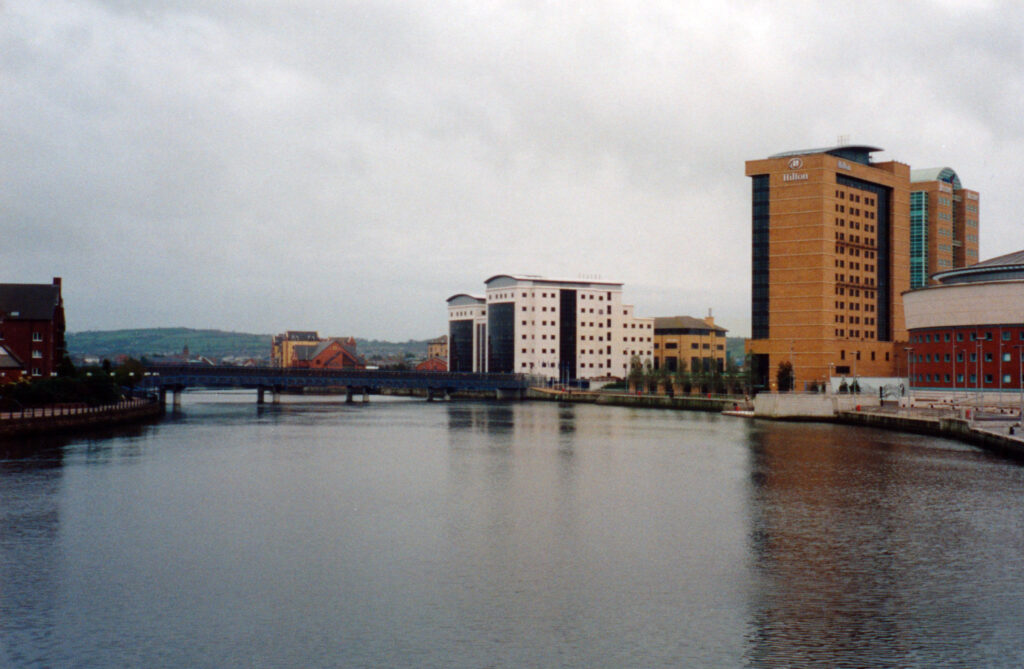
Belfast itself surprised me. After everything I had seen and read about Northern Ireland, I expected the city to feel tense and damaged; instead, much of the center felt modern, busy and increasingly familiar after months of living in London.
We walked the shopping streets, bought CDs and chocolates, and generally returned to urban life before heading for the airport. There remained only one logistical problem.
The painting.
I had spent only £15 getting myself to Northern Ireland and now had to persuade the same discount airline to transport a framed oil painting back to London without charging me more than either the painting or my ticket.
Somehow, I pulled it off.
I’d like to credit my charming American naïveté, but let’s be honest: in my twenties, blond hair, blue eyes and a well-timed smile got me out of more than a few situations I probably deserved.
Revisiting This Post in 2026: Lines on a Map
What I remember most clearly twenty-five years later isn’t Belfast or even the castles.
I remember how shockingly beautiful the countryside was, the absurd geometry of the Giant’s Causeway, buying a painting without considering how to get it home, and setting out in desperate need of a quiet weekend only to find myself drinking Guinness at someone else’s wedding at three in the morning.
That painting I picked up hangs in my house today in the family room.
I also understand Northern Ireland differently now.
Back then, I kept thinking about how strange it was that something as physical as land could become so inseparable from something humans had invented: government.
Land is physical.
Borders, citizenship and governments are legal constructs.
Identity is something else again.
It seemed to me that those things didn’t necessarily have to overlap perfectly—why couldn’t someone living in Northern Ireland choose to be Irish while the person next door chose to be British?
The interesting part is that, three years before I visited, the Good Friday Agreement had already answered much of that question: people in Northern Ireland were given the right to identify as Irish, British or both and to hold both citizenships, regardless of Northern Ireland’s future constitutional status.
It didn’t go as far as the thought I was having—individual citizens don’t simply select which country’s laws apply to them, and Northern Ireland remains under UK sovereignty unless a majority votes otherwise—but the underlying idea was remarkably similar.
A line on a map can define jurisdiction without completely defining the people living inside it.
Maybe that was the real lesson of the weekend.
Although the more immediate lesson was simpler:
Never book a castle hotel on a Saturday night if you actually intend to sleep.